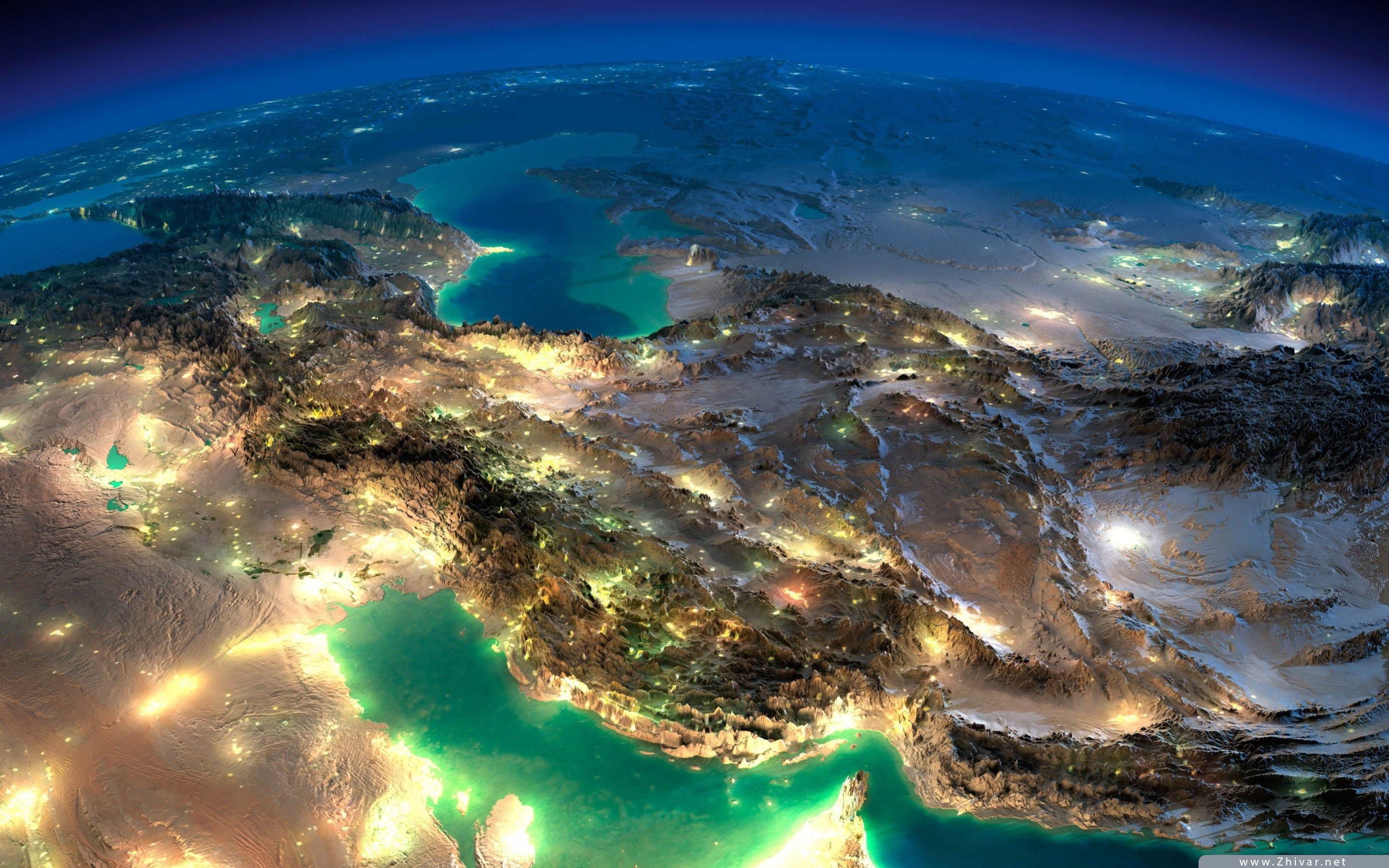
Map of Iran
Iran is located in the western region of Asia. It is bordered by the Caspian Sea to the north and the Persian Gulf and the Sea of Oman to the South. Looking at the map of Iran, you will quickly realize that Iran’s neighboring countries are Azerbaijan and Armenia to the northwest, Turkmenistan to the northeast, Iraq and Turkey to the west and Pakistan and Afghanistan to the east. These are the countries with which Iran shares land borders. Iran shares maritime boundary with the following countries: Russia, Kazakhstan, Kuwait, Arabia, Qatar, United Arab Emirates and Oman.
Map of Iran is here
Iran, officially called Islamic Republic of Iran, is a large country, which is not hard to realize while looking at Iran on map. In fact, it is the second largest country in the middle east with a total area of 1,648,195 km2 which makes it a country with full four seasons. Iran has 31 provinces in total and Tehran city, the capital city of a province with the same name, is Iran’s capital city. You can find Tehran’s location easily on the map of Iran since it is a little south of the Caspian Sea. In order to get information about Tehran, which is the largest city of the country in case of population, visit tourist attractions in Tehran. Three largest cities of the country in terms of population are Tehran, Mashhad and Isfahan. Iran has a total population of almost 84 million.
The country also has some islands both in north and south which are visible in the map of Iran. Such wonderful islands that comparing them, to choose the most beautiful one to visit, is not an easy task since each of them have their own uniqueness. However, the largest island of Iran is Qeshm which is located in the Persian Gulf. Looking at the map of Iran, you will agree with us regarding its size. Another island that will steal your heart is the Kish Island, also in the Persian Gulf. Moreover, Hengam, Hormoz and Lark are three other islands which are great for sightseeing. You can find the exact location of these islands on the map of Iran. It is worth mentioning that as a tour and travel agency, we have arranged some Island tours for the ones who desire to explore Iran’s extraordinary islands. Moreover, in case you are fond of the famous Kish Island, you can visit Kish Island tour to get more acquainted with this magical land.
While looking at the map of Iran, you will come to the conclusion that western provinces are smaller than the eastern ones. Iran also has two large deserts namely, Dasht-e Kavir and Kavir-e Lut (The Lut Desert) which are located in two provinces known as Kerman and Sistan and Baluchestan. These deserts are really big and you will find them easily while looking at Iran on map. In order to read more about our desert tours, you can visit Iran desert tours.
If you take a look at the map of Iran with roads and such information shown in details, a railroad starting from northwest to southeast is obvious which can be a way of travelling within the country if you do not like buses and are probably scared of the plane.
There are some high mountains in the country as well, such as Damavand; the highest mountain in Iran and the highest volcano in Asia, located in Alborz Mountain range in the northern Iran, location of which is also easy to find, on the map of Iran.
Moreover, Iran has some rivers inside the borders riverbanks of which can be considered as great places for relaxing and enjoying the nature. In case you are interested in knowing the locations of Iranian rivers or lakes, scanning the map of Iran can come in handy. Also, if you have booked one of our Eco tours or have asked us to arrange Tailor-made tours of your own choice, or if you want to use our CIP/VIP services or you are confused about the exact geographic place of our Medical tours or MICE tours or in case you like to know where would you go while on our Classical Cultural tours of Iran, scanning the map of Iran can help you a lot.
As you might already know, formerly, Iran was called Persia and the national language of the country, Persian (aka, Farsi), is derived from the former name, as well. Have you ever looked at the map of Iran? What may be interesting for you to know is that the map of Iran actually looks like a cat! Take a look at Iran on map again to actually see this Persian cat greeting you!

